
DIGITAL ROW UTILITIES
Capture.
Certify.
Export.
From The Field.
Digital ROW Utilities (DRU) captures utility points, lines and photos with documented methods and reported uncertainty, browses public GIS reference data, and exports reviewable records.
Capture Assets
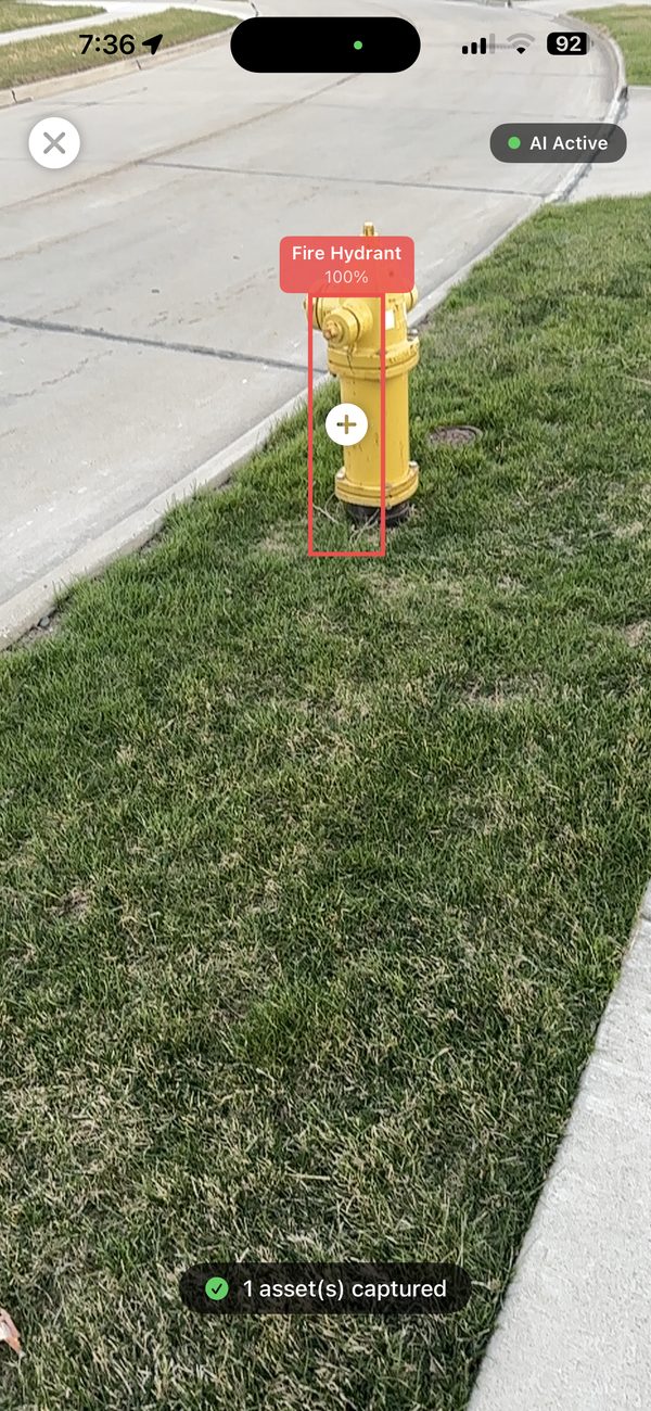
Walk the site. Tap to log. AI detects hydrants & infrastructure in real time.
Certify In Field
Review ASCE-oriented attributes and OCR suggestions against the original field evidence before sign-off.
Export & Submit
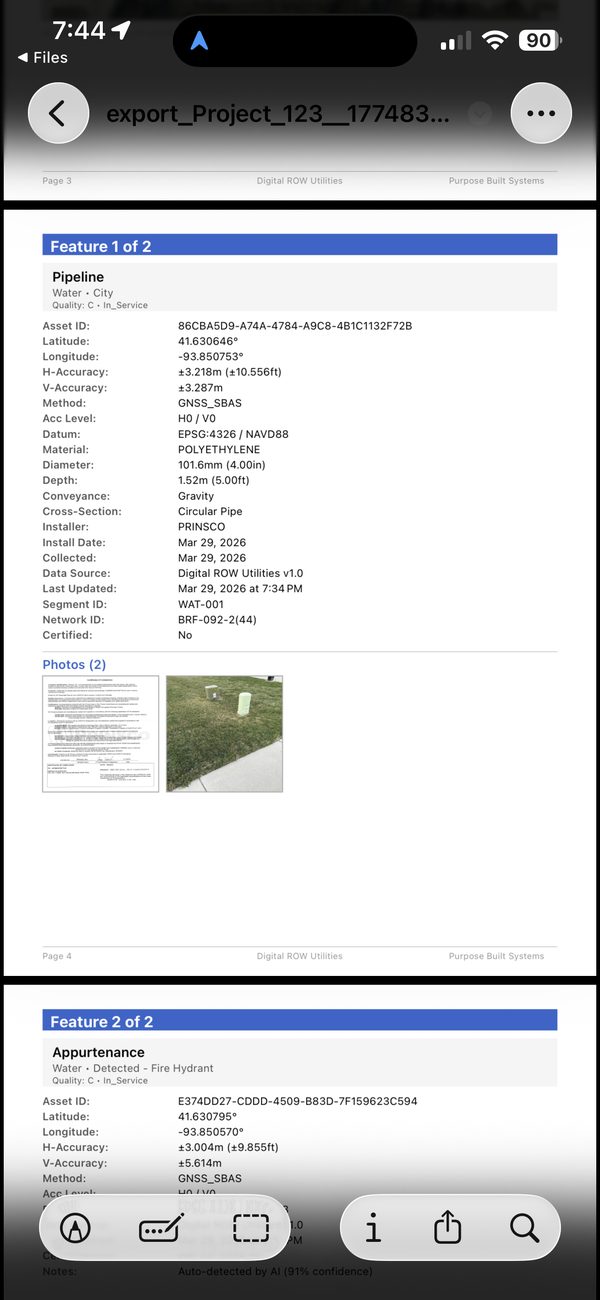
11 formats: GeoJSON, Shapefile, KMZ, DXF, ASCE 75-22 JSON, PDF Report & more.
Point & Linear Capture
GPS trace for full pipe runs with method auto-logged.
AI Asset Detection
AI-assisted detection of hydrants, manholes, and valves. Decision-support only — verify all output.
Material Cert OCR
Scan cert tags — material, diameter, wall thickness auto-fill instantly.
AR Visualization
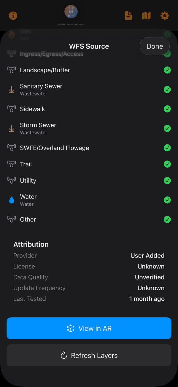
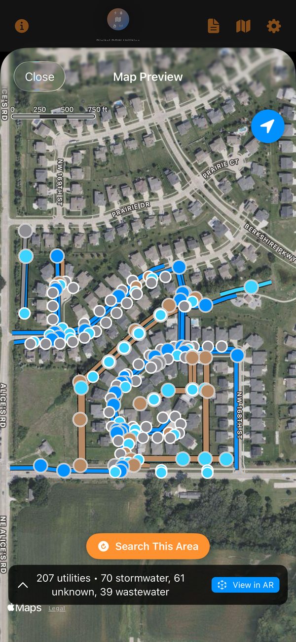
Overlay WFS utilities in live camera, color-coded by utility domain.
ASCE-Oriented Record Review
ASCE-oriented fields and validation support review. A complete form, signature or hash does not independently establish compliance, a utility quality level, survey accuracy or a professional credential.
LiDAR Depth Measurement
LiDAR-assisted depth capture on supported iPhone Pro models. Field results vary; verify against your project's accuracy requirements.
11 Export Formats
GeoJSON, CSV, KML, KMZ, DXF, Shapefile, PDF Report, ASCE 75-22 JSON & more.
Publish to Your GIS
Where GIS publishing is enabled in the installed build, use your authorized destination and credentials, review field mapping and queued changes, then reconcile the result with the receiving system.
AES-GCM Encryption
Authenticated AES-GCM encryption option for sensitive infrastructure data.
SHA-256 Audit Trail
Cryptographic integrity verification generated per export session.
GNSS / RTK Support
Location records retain the observed method and reported uncertainty. External GNSS and corrections depend on the installed build and compatible receiver. An NTRIP connection does not establish a corrected phone position or an RTK fix.
WFS Catalog
40,265 nationwide utility data sources — Electric, Gas, Water, Telecom. Ships with a curated set offline; the rest load on demand.
18 State CORS Networks
Iowa IaRTN and 17 other networks for GPS accuracy (coming soon).
Skip the export-and-reimport shuffle. Push captured, ASCE 75-22 as-builts straight into your own GIS of record — no shared logins, no middleman database. You connect your server, you keep control, and every write is made with your own account's permissions.
Connect Your GIS
Add your own ArcGIS hosted feature layer with a portal sign-in or token. Credentials stay in the device Keychain — never in the app or a shared key. QGIS Server / WFS-T is on the roadmap.
Check Field Mapping
Before publishing, DRU reads your layer's schema and shows exactly which ASCE attributes will be stored and which have no matching field — so nothing is silently dropped.
Publish With Your Permissions
Features write to your layer via the native GIS API in WGS84, carrying Quality Level, positional accuracy, and SHA-256 provenance. Your server decides who can write what.
Your Data, Your System of Record
DRU never holds a shared write key. Publishing uses your credentials, so your GIS enforces what's allowed — captures land in the authoritative layer your team already trusts, with full ASCE 75-22 attributes intact.
Every agency takes permits differently — some run an online portal, some want a completed form by email, some still file at a counter. DRU builds one application package that works for all of them, and tells you which route the jurisdiction you typed actually uses.
One Application Package
A single PDF a reviewer can read, print and route — applicant, work, schedule and ASCE 75-22 data quality, a full-page work-area map, and every polygon vertex written out to six decimals. The geometry survives even if a mail gateway strips the KML.
Routed to the Right Place
DRU knows how each jurisdiction accepts a request and shows it on the form — the portal to open, or the permit office to email, plus what that agency expects attached. Unrecognised jurisdictions say so rather than guessing at a permit office.
Status Without Retyping — coming soon
Where an agency publishes issued permits as open data, DRU will read the status back in the agency's own words instead of asking anyone to re-key it. No credentials involved — the data is already public.
Direct Submission — Enterprise — by request
Some agencies can accept a permit straight from DRU, with no re-entry in their portal and status read back as they update it. It depends on the platform your agency runs and on that agency enabling it, so it starts with a conversation rather than a switch — ask us about yours. Your agency sign-in stays in the device Keychain; we never hold it for you.
DTCD Integration
Links every utility install to a live work zone via Digital Traffic Control Diary. DRU alerts you when no work zone is linked — open DTCD directly from the app.