Warn drivers before they meet slow equipment
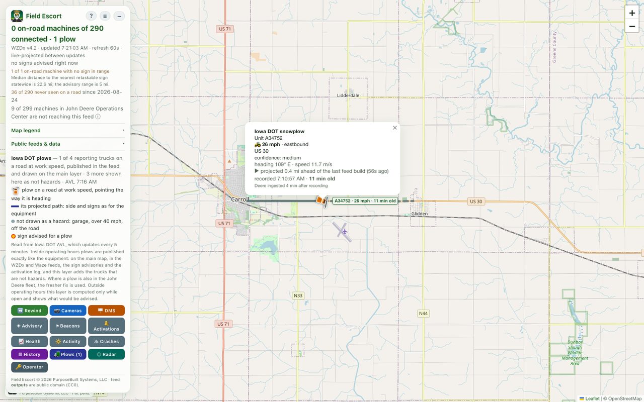
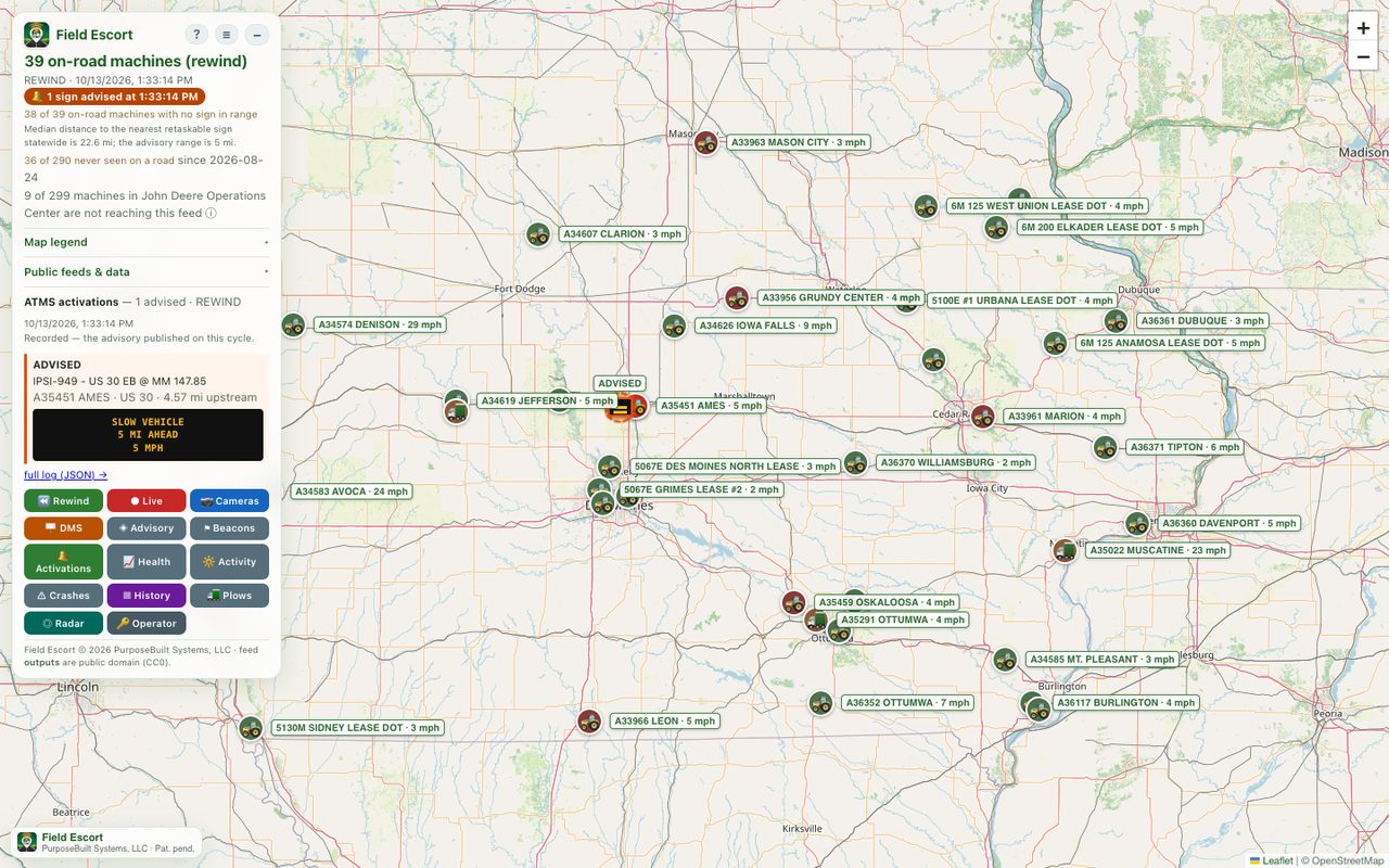
A tractor mowing a ditch at 5 mph on a 55 mph rural highway is a crash risk: drivers come over a rise and it is simply there. Field Escort turns the positions that farm equipment, maintenance mowers and snowplows already report into a public road-safety feed, so navigation apps, traveller information and roadside message signs can warn drivers before they see it.
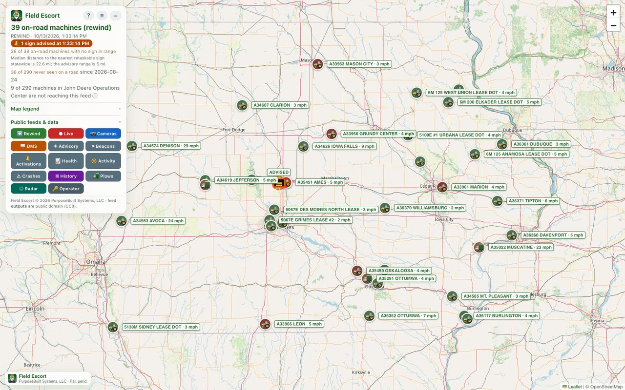
What it does, every minute
Public roads only
Positions are checked against the state road network and anything not on a public road is discarded. Equipment working a field, sitting in a yard or at a home is never published. That privacy gate is what owners agree to.
Where it is now
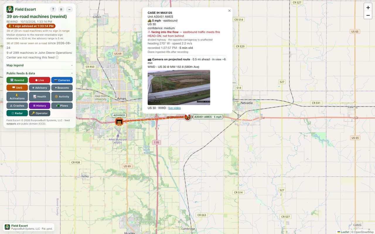
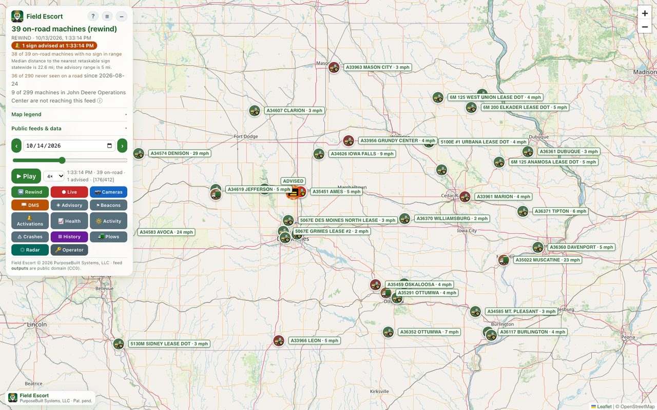
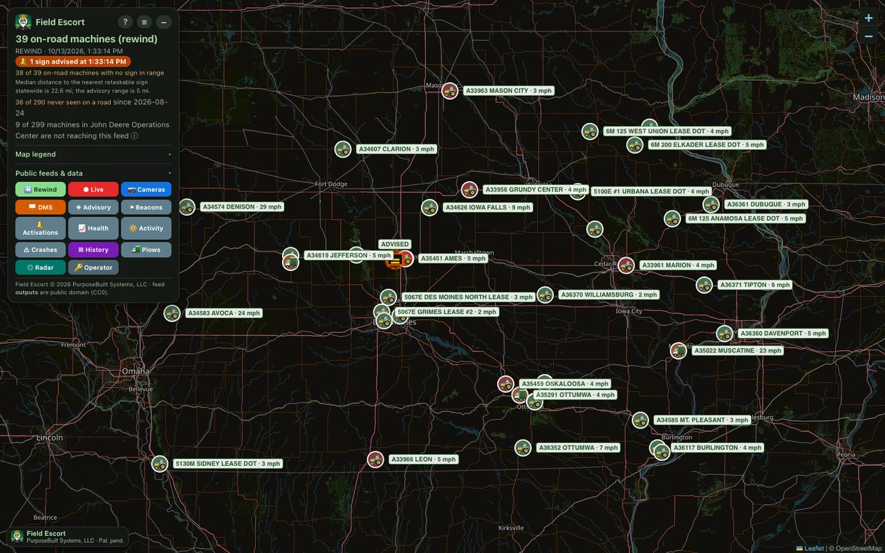
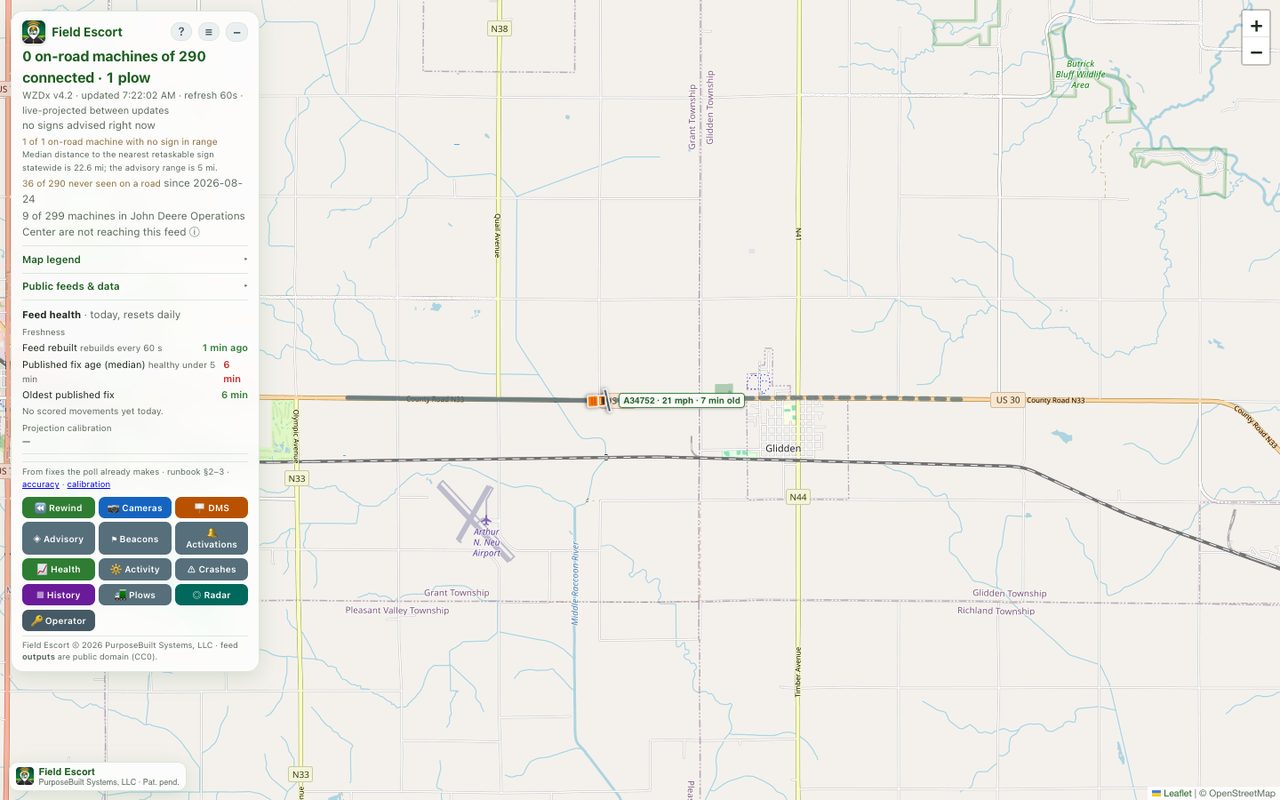
Equipment reports a position and then goes quiet for a while. Field Escort advances each machine along the actual road from its last report, and draws the stretch behind it, the road a closing driver is on, as the warning zone.
Standard feeds
Published as a WZDx 4.2 work-zone feed and a Waze CIFS feed, the formats mapping providers and traveller-information systems already ingest.
Which sign, and what it says
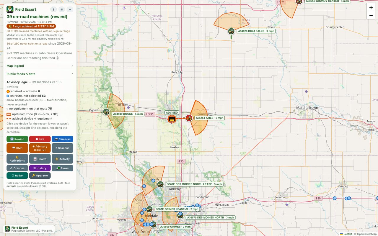
Recommends which message signs upstream of a machine should warn, with copy that fits a three-line board: SLOW VEHICLE / 2 MI AHEAD / 6 MPH, or SNOW PLOW in winter conditions. A recommendation, not a command: the traffic system decides.
See it
Who it is for
| Reader | What they use |
|---|---|
| Traffic-management and maintenance staff | The live map, sign advisories and the activation log; Rewind for reviewing an event. |
| Navigation and traveller-information providers | The WZDx and Waze CIFS feeds, free and public. |
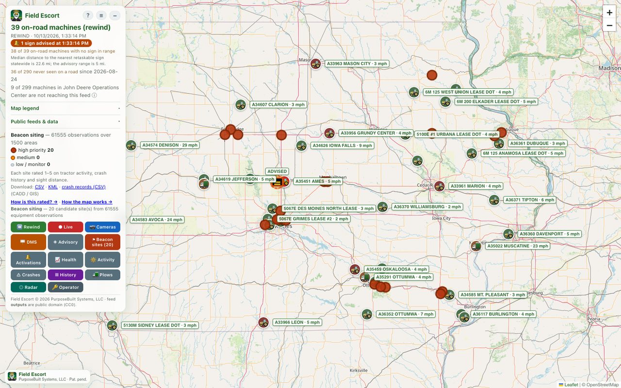
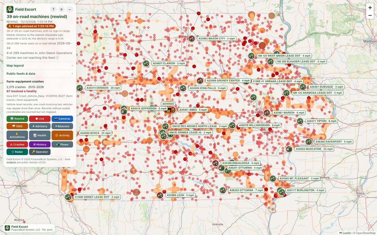
| Safety and planning engineers | Activity history, the crash overlay and beacon-site rankings, downloadable as CSV and KML. |
| Equipment owners | Nothing to install: connect an existing John Deere Operations Center account. Field work stays private. |
Learn it
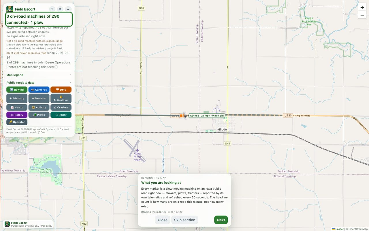
The training manual walks through every part of the map, the signs and winter operations, and is available as a printable PDF. The map also has a built-in guided tour: press ? in its panel.
Live data
- Live operations map · How the map works · Beacon siting method
- WZDx feed · Waze CIFS · Sign advisories · Activation log
- Feed availability · All public endpoints
Field Escort is patent pending (US provisional 63/901,544). Feed outputs are public domain (CC0).